Tales From The Trails
Yeti & Melanie's Website
Slide Show is from the Idaho Boundary Trail (IBT)
www.fultek.com/ibt

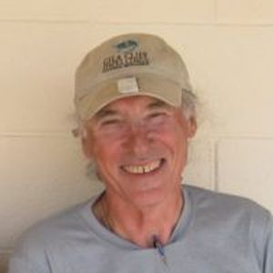
Melanie
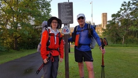
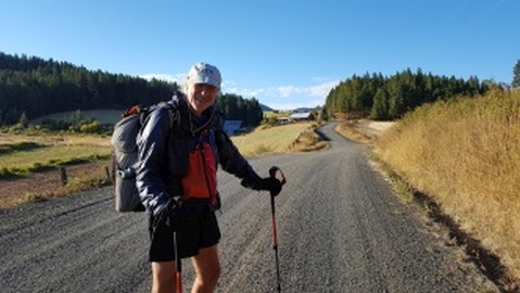
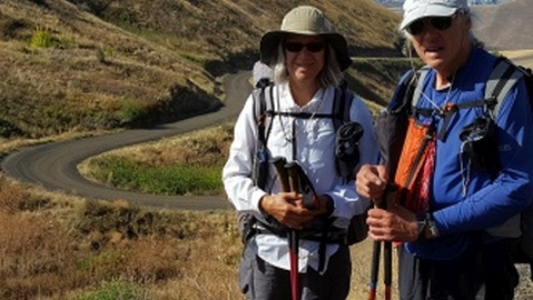
Mel & Yeti at Start Trailhead In Clarkston, WA
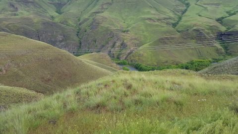
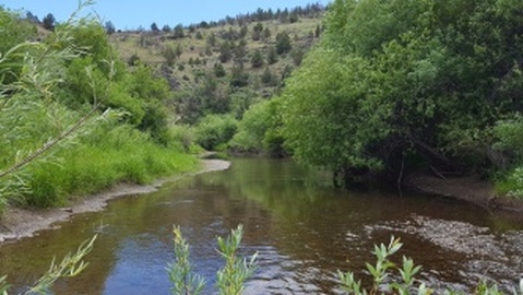
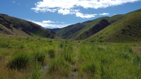
First View of Imnaha River
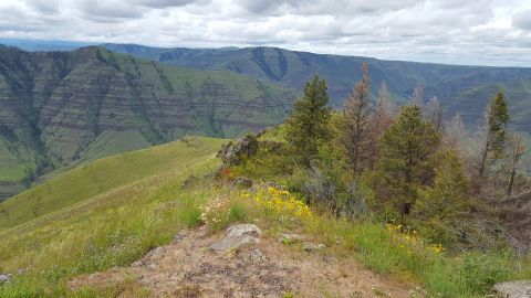
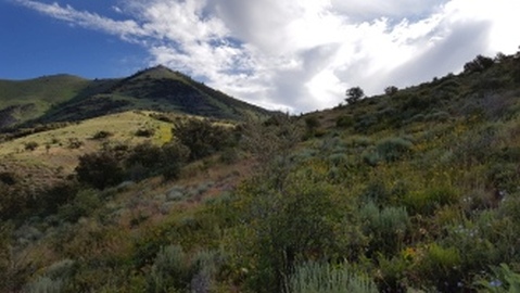
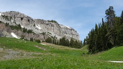
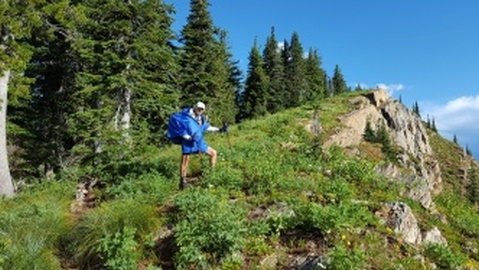
Granny View
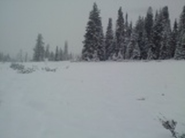
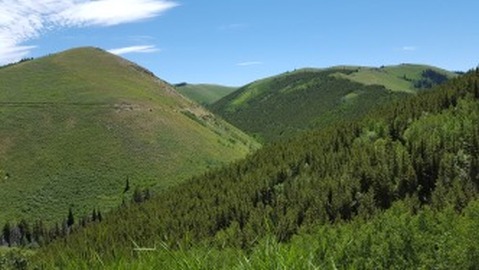
Going Up Lookout Mountain
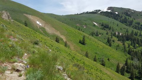
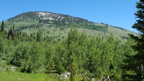
Benton Peak Alternate View
On The Way To Owyhee State Park
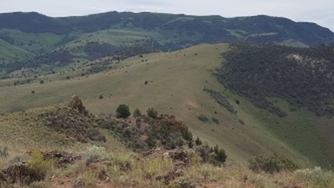
View of Mahogany Mt
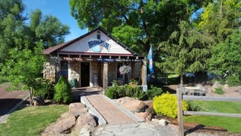
Rockhouse Cafe in Jarbidge, OR
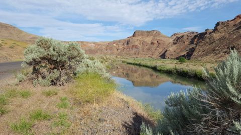
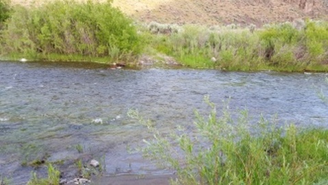
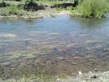
No Fork of the Owyhee River
45 Crossing
Forest Service Rd 745 Canyon Views
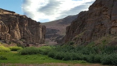
Rattlesnake Canyon View
"Creek Before Jackpot, NV"
Descending to Trapper Ceek Hills
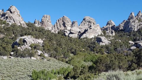
Rock fingers in City of Rocks. ID
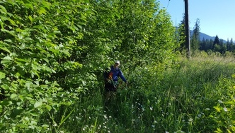
Start of Bushwhack Up War Eagle
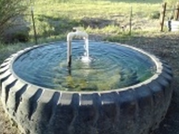
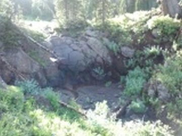
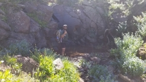
Great Water Source Before Preston ID
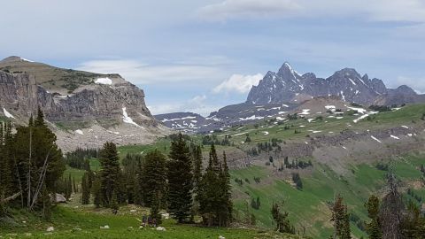
View of Peaks on way to Paris Peak
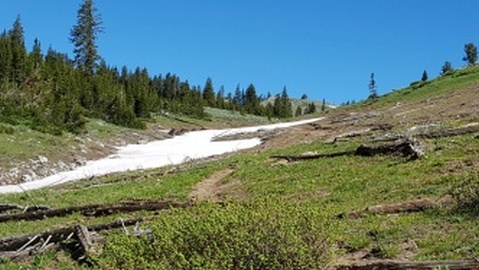
Near The Top Of Snowdrift Mt
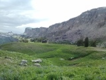
View of Wall near Pass By Death Shelf
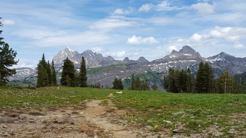
Grand Teton View
View of Tetons in Teton NP
Looking Back at Wall on Death Shelf
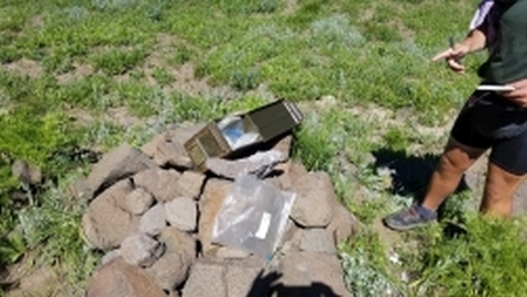
The Cairn & Register @ Most Remote Source of Missouri River
Most Remote Source Of Missourri River
Mismatch @ Most Remote Source of Missouri River
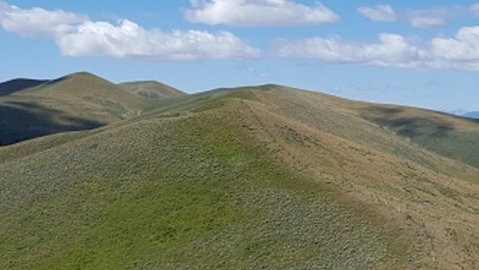
Broad View of Hills on Roller Coaster
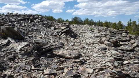
Rocky Trail
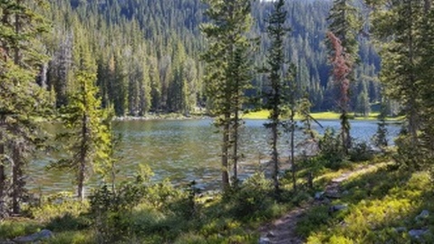
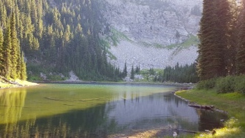
Rock Island Lake
Big Sand Lake
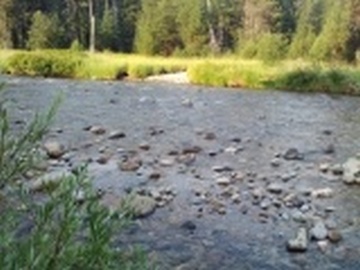
Kelly Creek
Climbing Steep Ridge
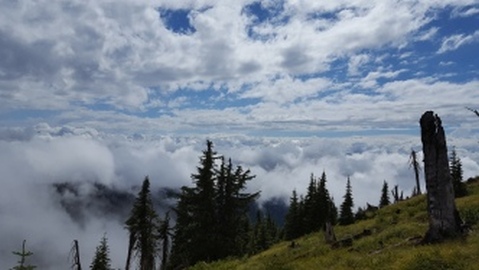
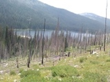
Fog and Cloud
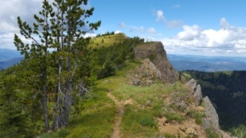
Rocky Ridge with Trail
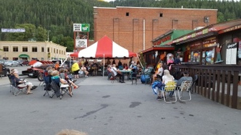
Accordian Jam in Wallace, ID
Pear Lake
Trailhead out of Clark Fork, ID
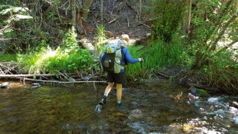
Creek Crossing after Clark Fork, ID
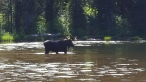
Moose shot at Darling Lake
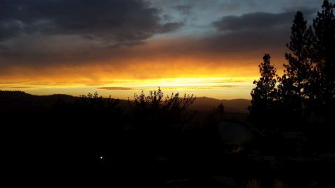
Sunset
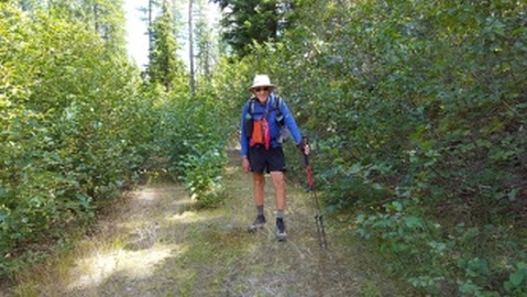
Yeti on Trail 370
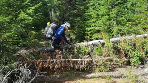
Yeti climbing Blowdowns on Trail From Hell
Bead Lake
Camp on FS RD 437
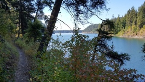
View of Beauty Bay from Trail
End of Road up Ridge before Harrison
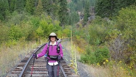
Mel on Railroad Tracks
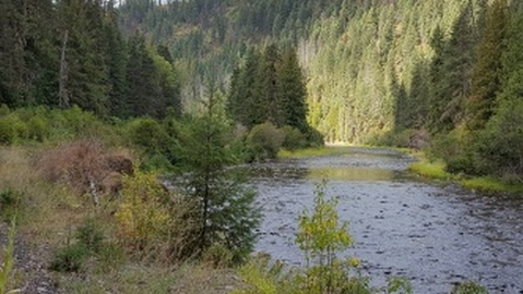
St Maries River View
Rock Creek Road
Mike & Yeti on Bike Path Leaving Moscow
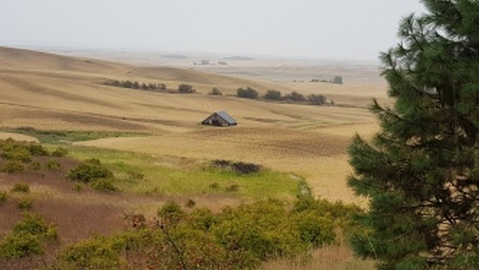
Old Barn From Road
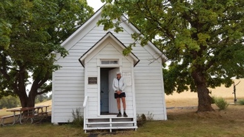
Yeti at Cordelia Church
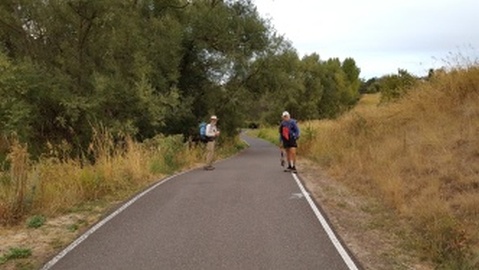
Melanie & Yeti Heading Down to Lewiston
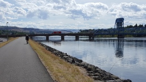
Yeti approaching Blue Bridge at Clarkston
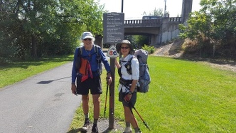
Yeti & Mel at the finish Line in Clarkston, WA
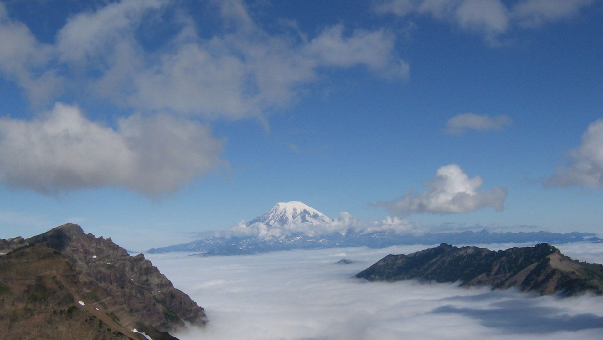
Picture is Mount Ranier From the PCT in 2007